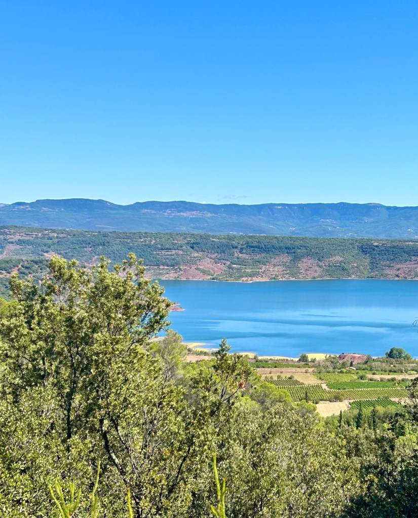
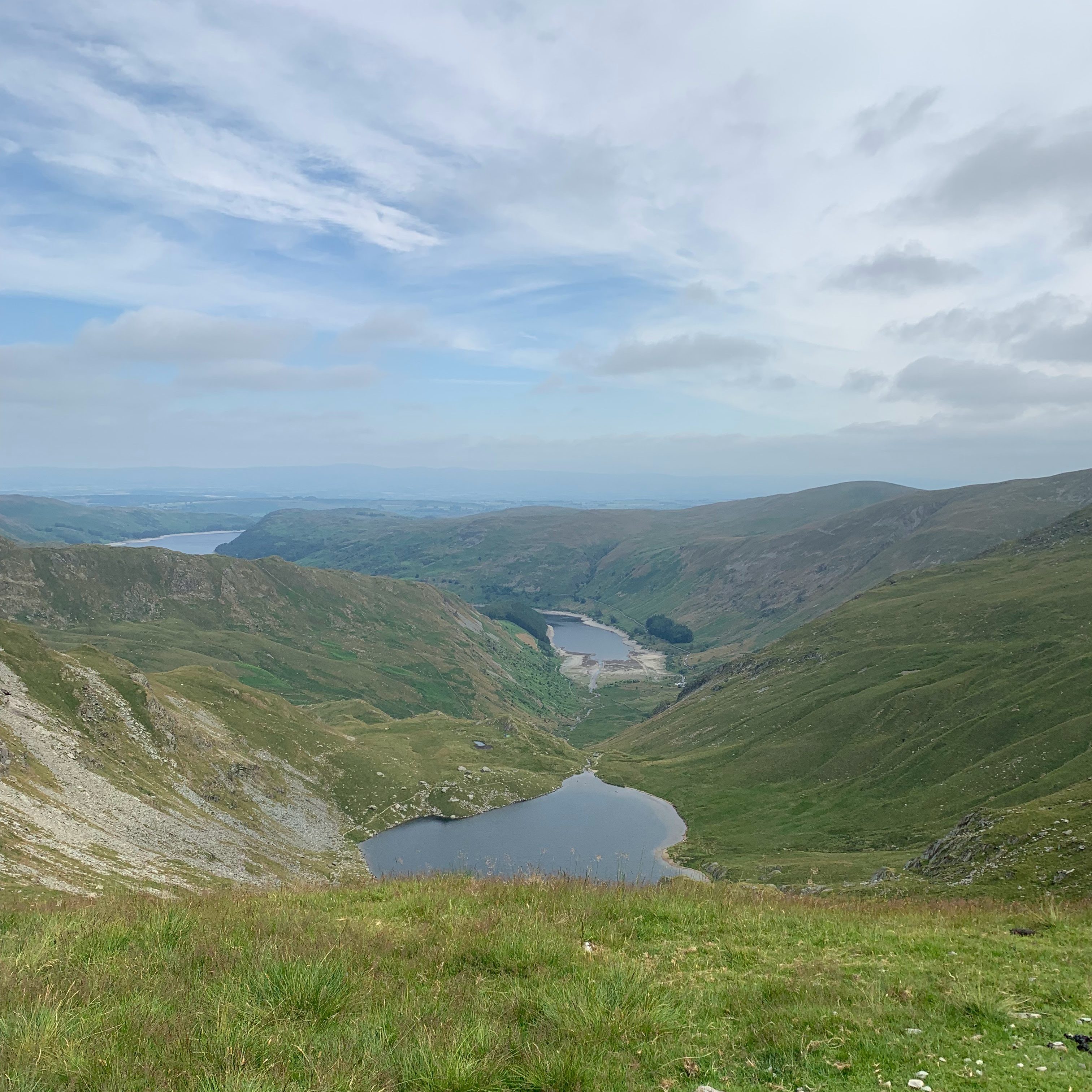
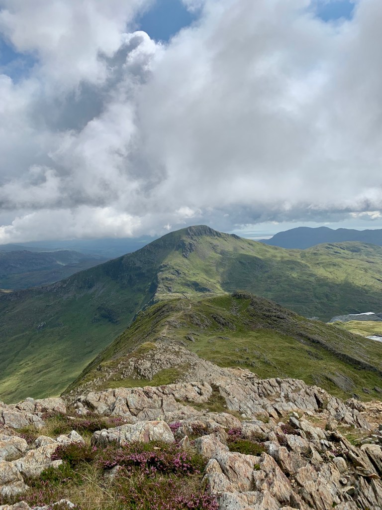
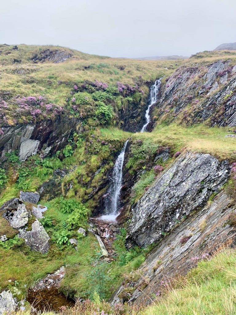
The South Ridge is often described as the “connoisseur’s route” up Snowdon – quieter, more rugged, and offering a genuine mountain day without the crowds. It’s an excellent choice if you want a balance between the challenge of Crib Goch and the simplicity of the Llanberis Path. It starts from the Rhyd-Ddu car park. The first 2.8 miles are gentle and pass by a beautiful waterfall and disused quarry. But then takes a very sharp ascent with sweeping views across to the Nantlle Ridge, Moel Hebog, and over to the Irish sea.
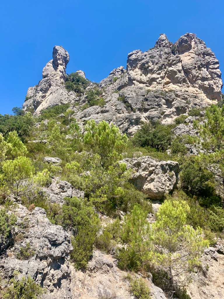
It is not the most technical route but you will need a good head for height and best kept for dryer days with low winds. On the South Ridge, the route narrows and becomes rockier, with some light scrambling. The final stretch on Bwlch Main ridge is narrow with dramatic drops on either side. It gives a real sense of exposure, yet much easier than Crib Goch. The descend via the easier Rhyd-Ddu Path makes it a rewarding circular
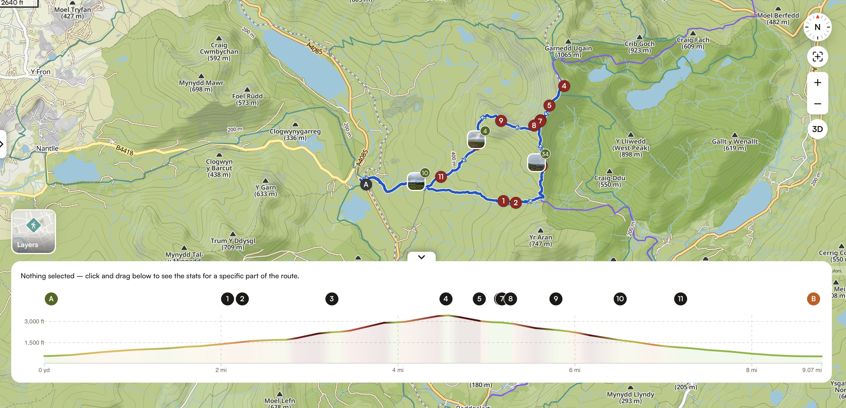
Stats
| Difficulty | Strenuous – no technical skills required. But some very steep sections and light scrambling involved. Some alpine paths and exposure. You Would need a good head for heights |
| Length | 8.98 mi – 14.5 km |
| Total elevation | 3,140 ft – 957m |
| Highest point | 3,560 ft – 1,085m |
| Walking time | 5h20 |
| Terrain | Bridle way, rocky paths including some light scrambling, narrow ridges with exposure (as low as 2ft wide in places) |
| Equipment | Enough water to walk for 7 hrs. Plenty of food and snacks to sustain a full day of effort, several layers as the temperature and weather on top can be very different from the valley. Walking boots with good grip as part of the path can be muddy, other parts can have some loose scree and some light scrambling is required. |
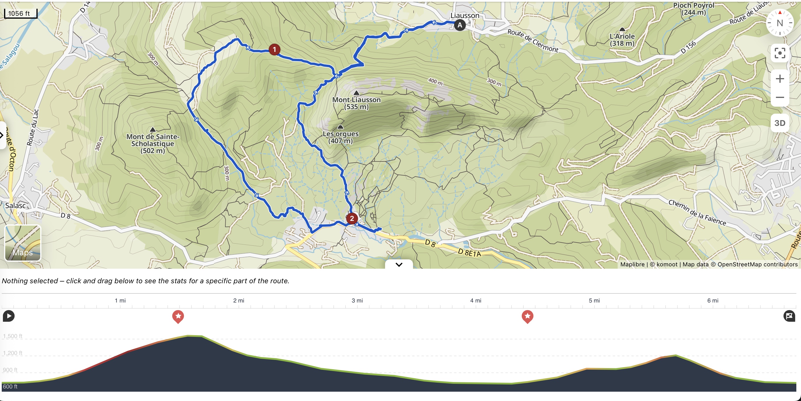
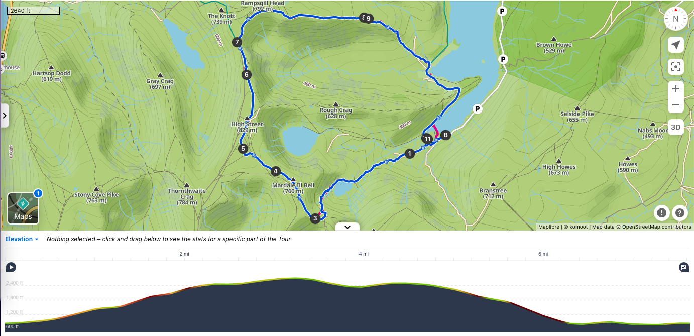
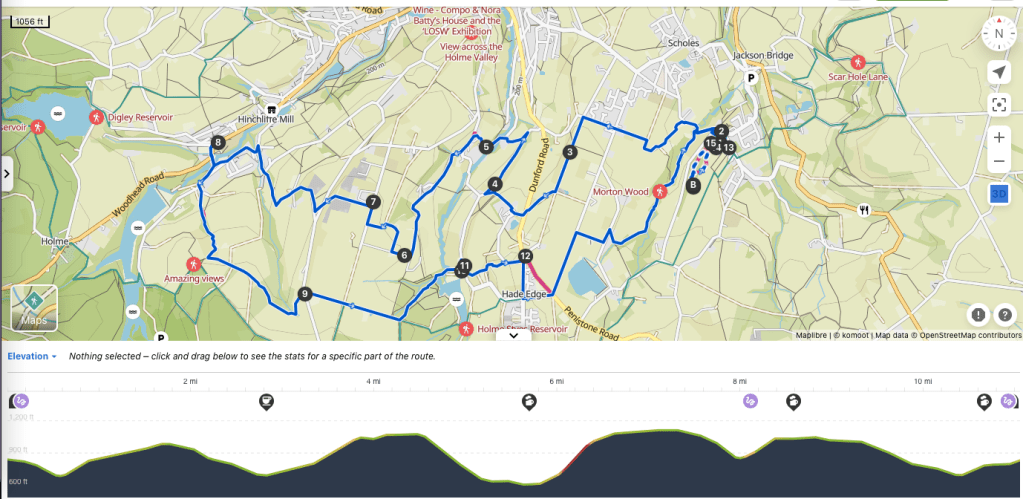
View route (Click on menu to reveal the image)
Getting there
- Driving: Rhyd Ddu Car Park
- Public transport: Train to Bangor and bus to Rhyd Ddu WHR Station
Watering Holes
- Cwellyn Arms – (10 mins from the start and end point)
Traditional family-run country Inn with rooms.
Cosy fireplace for the winter and outdoor seating in summer.
Muddy boots and paws are welcome.
Up to 9 different kinds of real ale and delicious home-made food from locally sourced ingredients.
Offers pub-classics as well as home-made sourdough pizza during the week with the addition of roasts on Sunday. - Prince Llewelyn Hotel – Caernarfon – (3.3 miles from the walk)
Outdoor seating in summer. Dogs welcome.
Hotel and pub offering stone-baked pizzas, burgers and modern pub classics
Make a week-end of it – Where to stay
For camping and clamping: Cwellyn campsite (1/2 mile to Cwellyn Arms) – 10-15 mins walk to the start point
Tent pitches with fire pits. The fire-pits have a grill on the side for cooking / barbecuing but you have to buy logs from the shop.
3 campervan bays with grass area for use of awning and 3 hard-standing pitches without awning with electric hookups.
Some campervan pitches without EHU during the quieter periods only
No Music Policy on site so No sound systems, acoustics or noise from devices allowed at any time. Total silence after midnight.
Dogs allowed.
Modern amenity block with underfloor heating, free power showers and toilets, eco friendly hand and body soap and vanity units with heated mirrors.
Outdoor sinks with eco friendly washing up liquid, and laundry room with commercial washing machine and commercial tumble driers.
For small budgets: Cwellyn bunk house (1/2 mile to Cwellyn Arms) – 10-15 mins walk to the start point
The pub owns 3 bunk-houses from 2 to 15 people.
They are centrally heated but you need to bring your own bedding.
Each houses have kitchens, showers and toilets,
The large bunk-house has a laundry room with commercial washing machine and dryers.
For large groups: Rhyd Ddu Outdoor Centre & Bunkhouse – 4 mins walk to the start point
Can only be booked on an exclusive use basis and accommodates up to 30 people.
Guests must bring their own bedding and towels.
There is a large fully equipped kitchen but the venue can provide a catering package if booked ahead of time. Large communal room for dining and communal lounge.
It has one 12 bed dorm, one 2 bed dorm and four 4 bed dorms.
Enough car spaces for 8 cars and one EV charging point.
Wi-fi but no television. Although there is a large screen with cables connecting to your own laptop.
Gas central heating and a separate drying room for wet boots and clothing.
5 toilets and 3 showers.
A garden with outdoor seating and outdoors secure storage for bikes etc.
For a cosy stay: Tŷ Mawr B&B – 6 mins walk to the start point
A 200 years old stone cottage and has two double rooms (one en-suite)
Please note the house does not allow children under 8 years old and pets.
The breakfast is outstanding. But there is a minimum 2 night stay in high season.
For a self-catering stay: Cwellyn Farmhouses – 15 mins walk to the start point
The pub also owns 3 farmhouses accommodating between 4 to 6 people each.
Minimum booking of 3 nights.