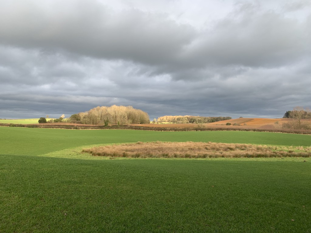
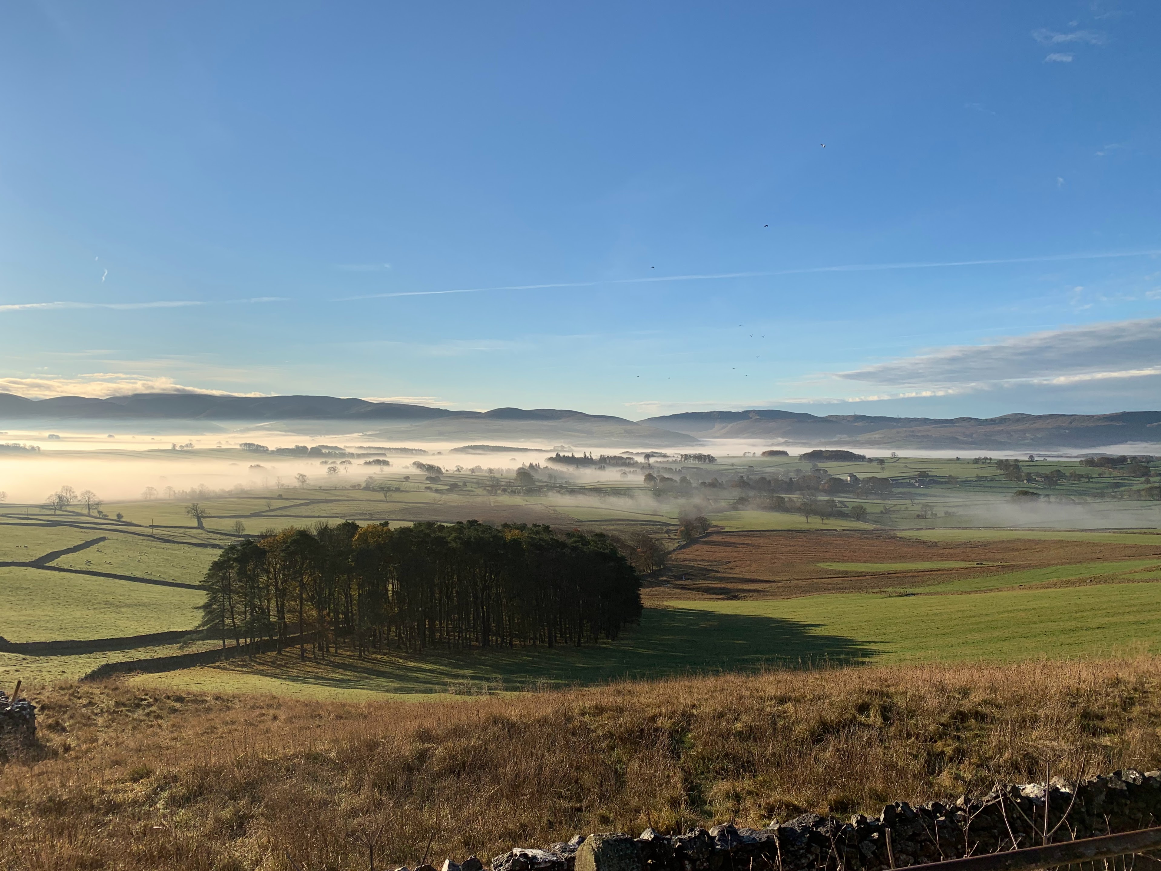
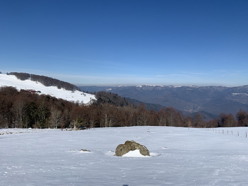
The Vosges Mountains are one of France’s most underrated hiking destinations, often overshadowed by the Alps or the Pyrenees. But that’s exactly what makes them special!
The area offers stunning landscapes; very well maintained paths and more importantly it is a foodie paradise.
Most of it, like the Black Forest in Germany is covered by working forests and what they lack in height compared to their Alpine cousins; they make up for the maintenance of the paths. Making hiking suited to both beginners and more experienced hikers.
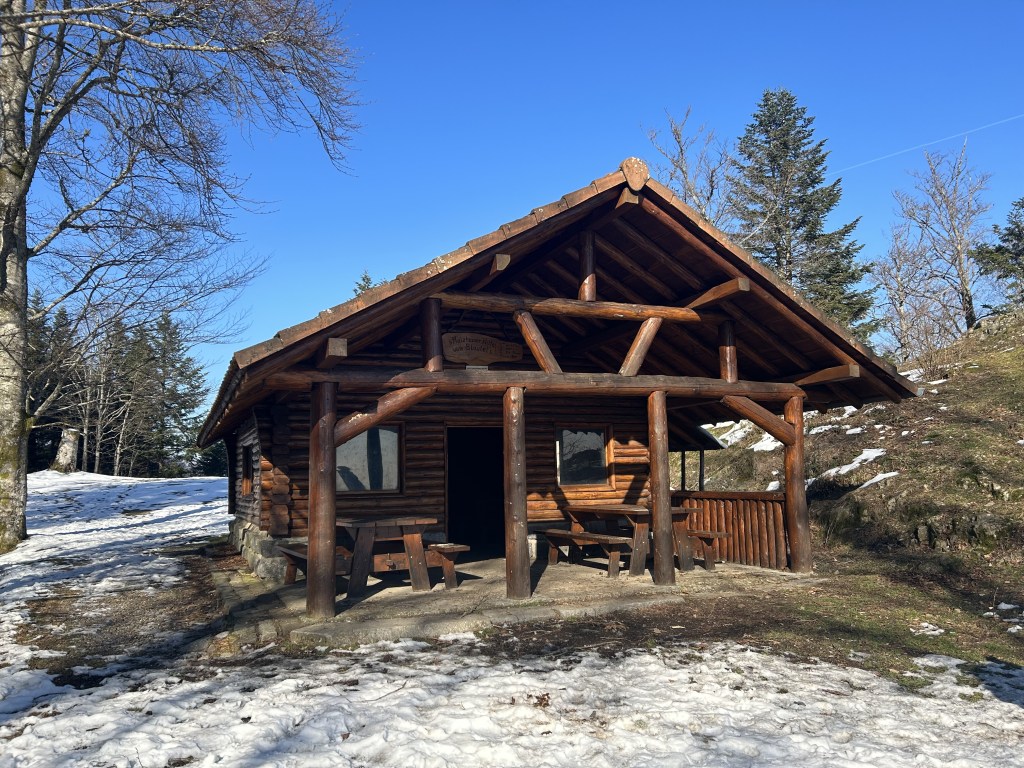
Everyone talks about Savoyard cheese in the Alps, but the Vosges have Munster cheese, tarte flambée, blueberry tart, and hearty mountain meals—all served in cozy, rustic inns along the trails, some at high altitude. Most Auberges are family run businesses. On this hike, we stopped at the Auberge Gsang and enjoyed soup, a delicious beef stew, local cheese selection and a dessert all home-made by the couple who run the auberge.
Stats
| Difficulty | Strenuous |
| Length | 11.1 mi – 17.8 km |
| Total elevation | 2,579 ft – 786m |
| Highest point | 3,501 ft – 1,067m |
| Walking time | 4h50 |
| Terrain | mostly Mountain paths, hiking paths and footpaths |
| Equipment | Check the mountain forecast Prior to setting off; between November and End of April, you are likely to need microspikes and / or snowshoes to tackle the snow . Enough water and snacks to last you for 5 hours, in case the auberge is closed. a good map or gPS, in particular as the snow on top will hide the paths. |
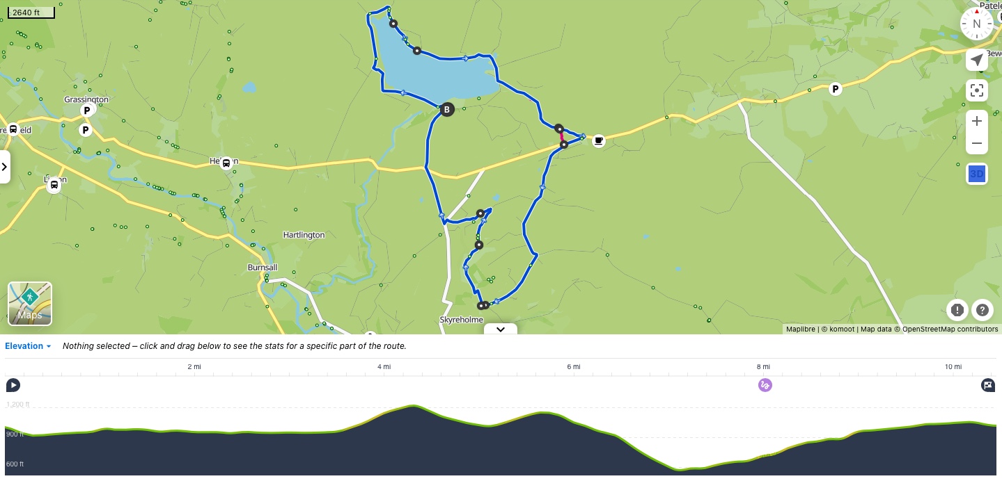
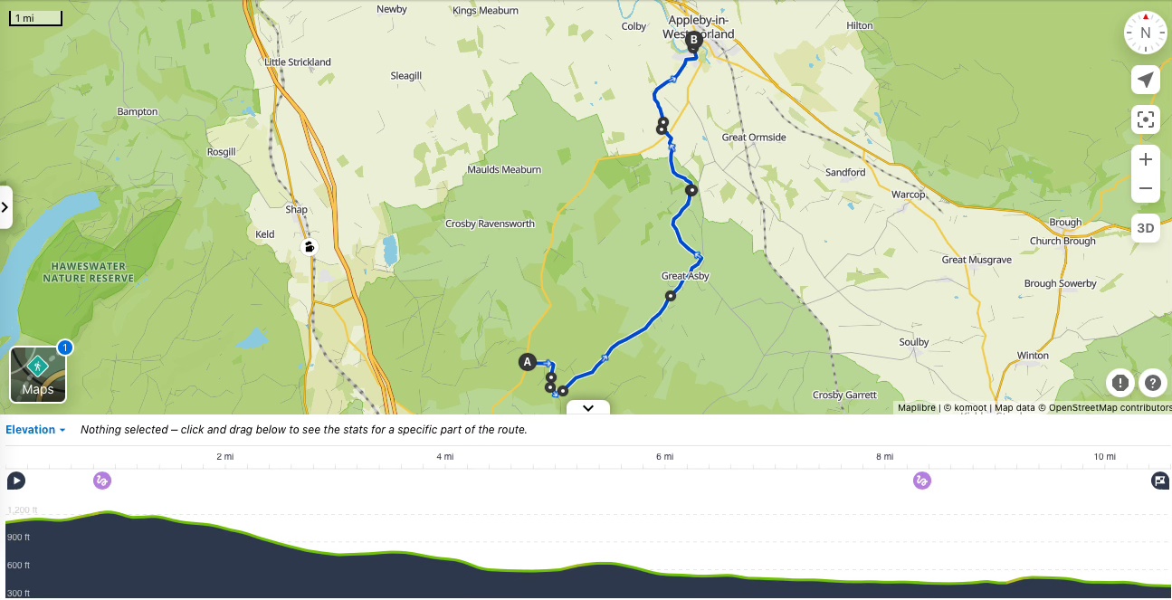
View route (Click on menu to reveal the image)
Click here for Komoot Link
Getting there
- Driving: Car parking in Moosch on Place du Colonel Arnaud Beltrame
- Public transport: Moosch TER train station
Watering Holes
- Auberge Gsang – Mid-way through the walk (at c. 5.5 miles and elevation of 3,365ft / 1,026m !)
The auberge is a wonderful family-run place by a couple.
Expect dishes of the day such as soup, beef stew and local cheeses. Everything is home-made and delicious.
It is very cosy with a fireplace in winter. And a terrace with a view for the sunnier days.
It is closed on Mondays and Tuesdays and open from 11:00 am but do call ahead to ensure it is open on the day of your hike. - Ferme Auberge du Thanner Hubel – A small detour from the hike (will add a mile in total to your hike and at 3,344ft / 1,025 of altitude !)
If the Auberge Gsang is closed; this one is only closed on Mondays but do check by phone ahead of setting off!
Another family run establishment with home-cooked food at altitude.
I have not visited it and therefore cannot give personal comment. - Pâtisserie-Chocolaterie-Boulangerie Dietschin Fellering / Moosch – At the start / end of the walk
This is perfect to grab breakfast or a coffee before the hike – buy your (back-up) lunch or enjoy a cake an coffee ater the hike.
It is an artisan baker and the quality was excellent
Make a week-end of it – Where to stay and eat
For sleeping at altitude: Ferme Auberge Gsang.
Not only the food is delicious but there are beds you can rent upstairs.
Please note that the farm is only accessible by foot.
And whilst I greatly enjoyed our 3 course lunch there, I have not tried to book a bed.
Information is limited, so you would have to call (in French) to discuss prices and availability
Alternatively, for another bed with altitude, the two ski clubs (Refuge Rossberg from SRC Thann and refuge club Vosges du Thanner Hubel) have refuges with kitchens, shared bathrooms with hot showers and dorm rooms.
You would need to call ahead of time to arrange your stay, and again; speaking French or German is probably a pre-requisite to book.
The two ski clubs charge between 10-15 Euro p.p. per night.
They are not directly on the trails but it will only add an extra mile to your hike to reach them.
Again, no access by car, so think about this when you pack your luggage. And you will need to bring your own food.
The last thing to note is that French Refuge often have the shared beds side by side; it may feel like sharing a large bed with 6 to 8 strangers rather the separate bunk beds we are used to seeing in Youth Hostel.
To suit all tastes and budgets:
On this trip, we were visiting friends in Mulhouse and completed this hike as a day trip.
There are very few accommodation options around Moosch but getting there by train from Mulhouse is very easy.
There are trains every hours and it takes less than an hour. (Every other hour on Sundays)
The staff at the train station in Mulhouse speak German and will be able to help you on timetables and costs.
Mulhouse is vibrant student city and accommodation options are endless as well as reasonably priced.